In my last post, I discussed hot the models where show temping the low and middle 50s. Temperatures actually soared into 60s today in many with west downslope winds. JFK set new record at 65. Beautiful late winter day to enjoy some outdoor activities. Tonight will see increasing clouds late with temperatures falling into upper 30s inland and lower 40s for the coast.
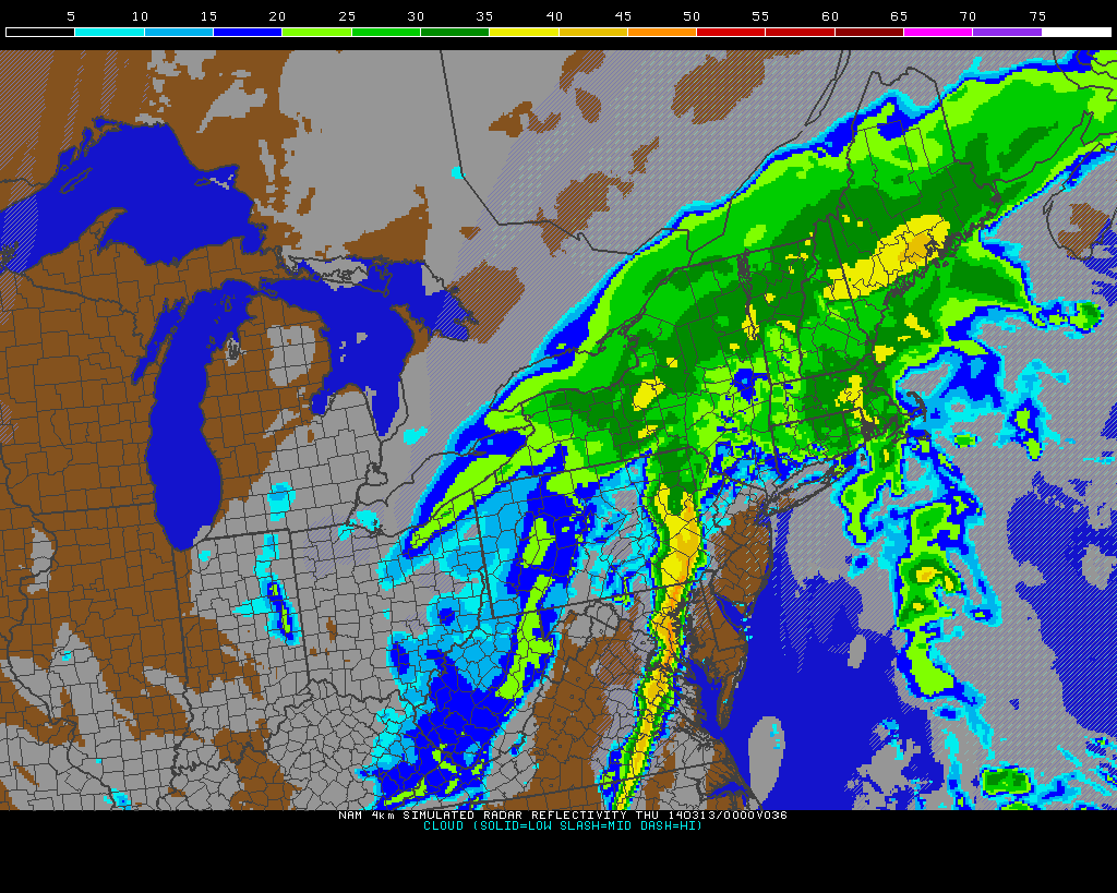
With this very mild airmass in place, the storm for Wednesday has trended warmer, deeper and further northwest. It now appears this will be a mostly rain event for even parts of Hudson Valley and Interior CT. If fact, these could steadier and heaviest rainfall. Many of us will be in warm sector, with periods of light rain and drizzle with temperatures rising into 50s over NYC and lower 60s over Central and Southern NJ. A strong 500mb shortwave and cold front, likely to produce a forced low-topped squall with some gusty winds later tomorrow afternoon or evening. With some elevated instability in the form steep mid-level lapse rates,TTs in the 50s and MUCAPE, some elevated thunderstorms are also likely. Any surface-based instability will be based on any clearing that takes place, tomorrow afternoon. This will enhance the threat for isolated severe wind gusts. Most-likely south and west of NYC.

 Behind this cold front, it will turn windy with temperatures will rapidly fall back into 20s and teens later tomorrow night. Any wet roadways could see some black ice form. Some snow showers that could coat the ground, are also possible with the upper-level trough with swinging through tomorrow night. Especially north and west of NYC. Thursday will be big change from the last few days. It will be windy with temperatures only slowly climbing out of the teens into lower 20s. This arctic blast will not last longer, however. After a cold Friday morning, temperatures will rise into upper 30s and lower 40s in the afternoon.
