A powerful nor’easter will form off the East Coast, on Tuesday night and Wednesday. But model guidance have consensus that this storm will stay far enough east of our area. Sparing the tri-state area of major snowfall and strong winds. As I previous discussed in the last blog post, there were number factors that had to be resolved for this storm to come together. All guidance is now in consistent agreement, that the Pacific upper-level low will open up into smaller systems and the coming into West Coast faster. Another lobe of polar vortex coming down from Central Canada, will also aid breaking down ridge further. This causes a broader trough over the Eastern US and later, sloppy phasing of northern and southern stream disturbances. The end result a storm slower to organize off Mid-Atlantic coast. By the time this consolidates into one very deep storm, it’s more than 200 miles east of New Jersey.
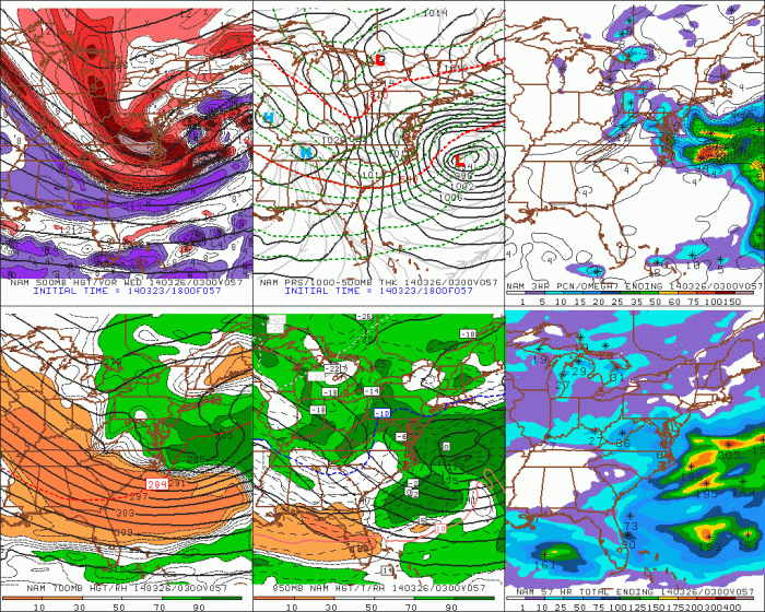
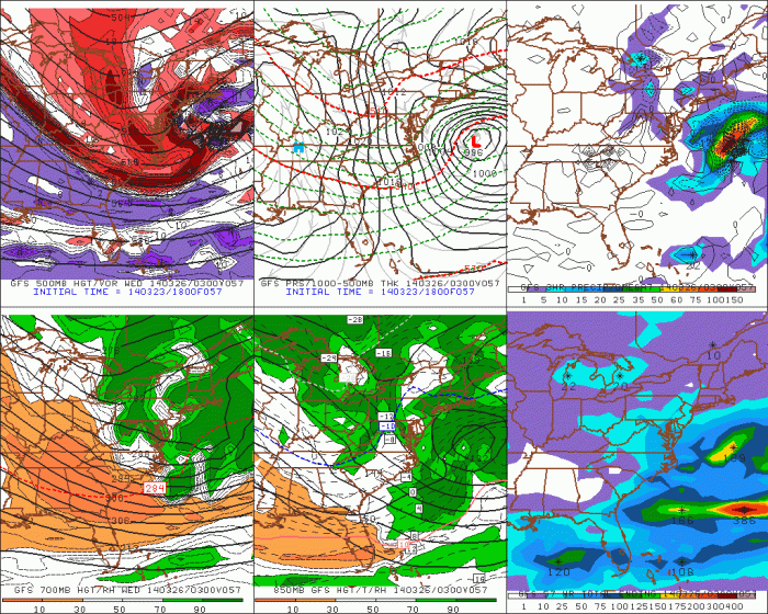
A lighter snowfall is still possible for parts of the area Tuesday late afternoon and night. The guidance has been showing an inverted trough extending from the storm offshore. However, this placement and intensity of this feature is often difficult for models to handle. The 18z NAM today shows inverted trough with a moderate band of snow reach the NJ shore. While the 18z GFS just shows scattered snow showers with the inverted trough. Both model notably keep the 500mb vort max and PVA well south of the area. Which leads me to believe this feature will not be very impressive for region. I will still monitor this storm for any changes. But at this time it’s not looking like big deal for our area.

