A weakening cold front move through the day tomorrow. It will be accompanied by some some clouds and scattered showers. If there’s enough sunshine between the clouds tomorrow temperatures, may soar to near 70 degrees with westerly down slope winds tomorrow. A weak wave of low pressure will form along this cold tomorrow, with a period of steady rain tomorrow night. At this time, dynamics don’t appear to be supportive for heavy rainfall totals greater than .50″. This wave should move out the area by Saturday morning. Leading to skies to mostly sunny skies on Saturday afternoon, with light west or northwest winds causing temperatures to rise into the upper 60s to around 70 degrees over NE NJ and NYC. Sea-breezes developing tomorrow afternoon will keep the south shore of LI and the NJ shore in middle to upper 60s for highs tomorrow.
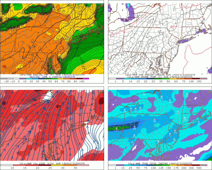
On Sunday, a warm front will attempt move across the area. However, most of guidance shows high pressure develops over the Atlantic, causing more SSE winds ahead of the front. Which will bring a marine airmass of the ocean. This may force the warm front to slow down or stall just southwest of NYC on Sunday afternoon. The south shore of NYC and Long Island may be stuck 40s or 50s with some low clouds and drizzle on Sunday. While inland areas sees more sunshine and temperatures rising into 60s or 70s.

On Monday, the warm front is more likely to push northward over NE NJ and NYC. As stronger flow out the south-southwest develops, ahead a deep trough and strong cold front, approaching from the west. Temperatures in the 70s, should be more widespread across the Northeast NJ and NYC than on Sunday. Although sea-breeze developing along the coast, may push inland during middle and late afternoon hours. Dropping temperatures back into 60s or 50s.
On Tuesday, the cold front moves closer to the area. Precipitable water values increase to over 1.00″, with strong LLJ ahead of this front. Some heavy rainfall from showers and possible thunderstorms may occur.. This should keep high temperatures in the 60s, for most of the area. Behind this is cold front, are much colder temperatures. Highs may not get out 40s for Wednesday or Thursday. With possibility for record low temperatures in 30s or 20s. So while you maybe wearing shorts on Monday. You might not want to pack away the winter coats yet.