An upper-level trough center over the Great Lakes will be taking a negative tilt today and tomorrow. At the surface, a low moving northward into Great Lakes, will push a warm front will slowly across the Northeast. Rain over Pennsylvania this morning is well ahead of the this warm front and will likely break up somewhat as it comes east into stronger high pressure. But some intermittent rain or scattered showers are still possible during today, for the entire Tri-state area.
Tonight and tomorrow morning, things get more interesting. The upper-level trough takes a negative-tilt and a secondary area of low pressure develops along the warm front. This will lead to stronger southeast flow, pumping a copious amount of moisture from the Atlantic into the tri-state area. Precipitate water values will increase to 2.00″ or higher. Lifting along warm front will be enhanced by two divergent upper-level jet streaks, a strengthening low-level jet and increasing convergence with secondary low acting as a triple-point. Elevated instability will be on the increase MUCAPES are forecast to be between 500 J/kg to 1000 J/kg, early tomorrow morning. This will result area of heavy rain and embedded thunderstorms moving across the area.
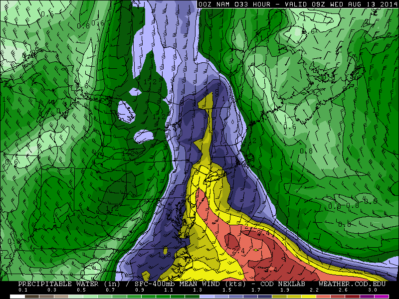
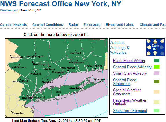
Rainfall totals of at least 1 to 2 inches are likely for many areas. Some locally higher totals are possible, where thunderstorms train. Orographic lifting with the southeast flow may also aid areas inland areas receive between 2 to 4 inches of rainfall. For those reasons, the National Weather Service have issued Flash Flood Watches for parts of the region. Heavy rain could fall in a short period of time, resulting in flooding on roadways, poor drainage and low-lying areas. Flooding near small streams and rivers is also possible.
At this time, severe thunderstorms are not anticipated. There will be 30-40kts of 0-6km shear. Helicity values will increase to near 500 m2/s2. Lifting condensation levels will also be low. But with the secondary/triple-point low tracking mostly south and east of the area, during the early morning hours, low-level instability looks marginal at best. The threat for thunderstorms to produce a damaging wind gust or a weak tornado, appears to be extremely low and isolated in the Tri-state area. This threat will increase somewhat as head further south and west in Mid-Atlantic region, where instability could be higher.
Heavy rain and thunderstorms should taper to scattered lighter showers during the midday hours tomorrow, as the lifting with the warm front shifts north and east. There is chance clouds break for sunshine in parts of the area, by late tomorrow afternoon. Thursday and Friday are looking dry and with temperatures in the upper 70s or lower 80s. Which is slightly below normal for this time of year. However, a warming trend should be this weekend, with a southwest flow sending high temperatures pushing into lower to middle 80s.