Tropical Storm Cristobal: No Threat Likely to the US

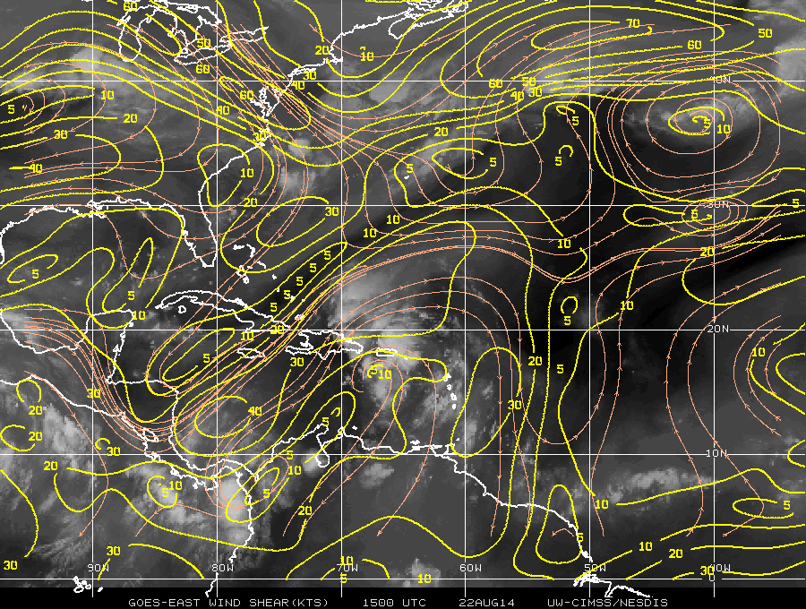
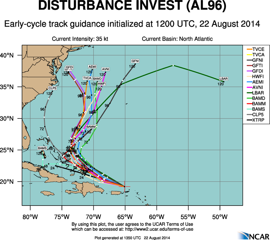
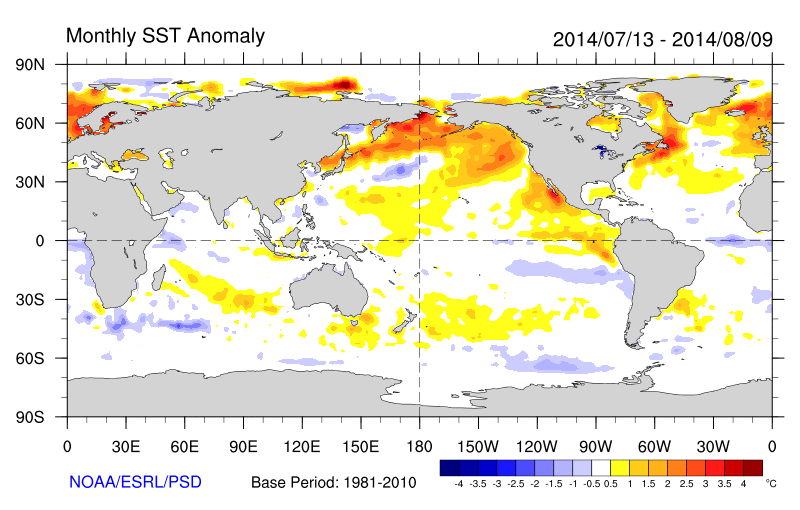
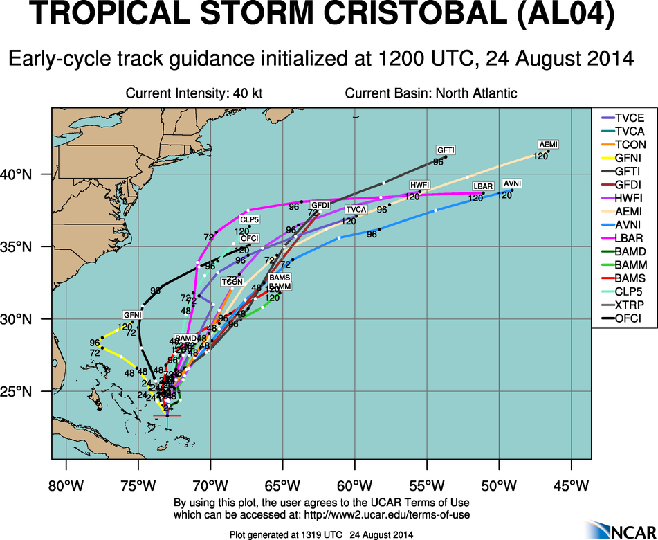
Tropical disturbance invest 96L was upgraded to tropical depression late yesterday. Then upgraded to tropical storm this morning with maximum sustained of 45mph and it is currently moving NW at 9mph. The storm is still most likely to gradually recurve away from the US, as it begins to feel influence of troughiness or a weakness in subtropical ridge over the Western Atlantic. Cristobal is now under a light shear environment with base of trough to the north. It is also moving over sea-surface temperatures near 26C-30C. This will allow for more strengthening today and tonight. These favorable conditions are likely to persist into middle of this week and Cristobal is likely to become a hurricane. The only impacts expected are some high waves and rip tides along the US East Coast this week.

CIMMS Shear Tendency Analysis at 12z showing light shear over Cristobal (the L)
UM-CIMMS Shear Tendency Analysis at 12z showing light shear over Cristobal (L)

This storm going as pretty much going as I had wrote about in my last post Some models over the last 48 hours waffled between a track over Florida/Gulf of Mexico and recurve farther east into the North Atlantic. But now that there is a more defined and deeper center of circulation and actual data on the extent of troughiness over the Western Atlantic, the model consensus is back with a recurve away from the US East Coast. Despite the model differences and media hype, this has remained the most likely scenario here all along. This is due to the pattern recognition and past experience with tropical cyclones. The ECMWF operational model, often most reliable and was the most consistent with this solution in the medium range. Unfortunately, it is not on many of spaghetti model plots that are used or shown around the media. The ECMWF ensembles had many members still showing a tropical wave being steered by low-level easterly flow into Florida/Gulf of Mexico. This is clearly not correct anymore.

0z ECMWF showing Cristobal being captured by new upper-level trough and into the North Atlantic
0z/25 ECMWF from PSU Ewall showing Cristobal being captured by a late week upper-level trough late and tracking out into the North Atlantic
today's 12z guidance showing a recurve out to sea this week:
Today’s 12z early guidance showing a recurve out into the North Atlantic this week

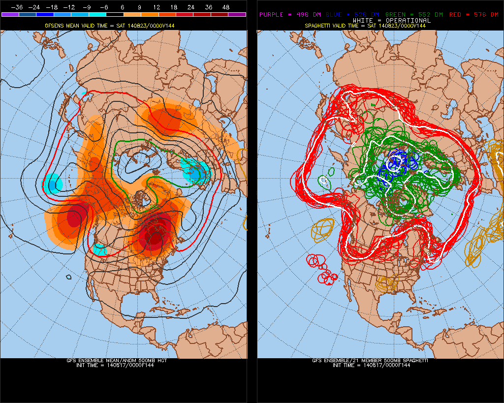
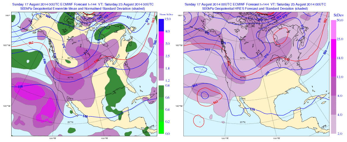
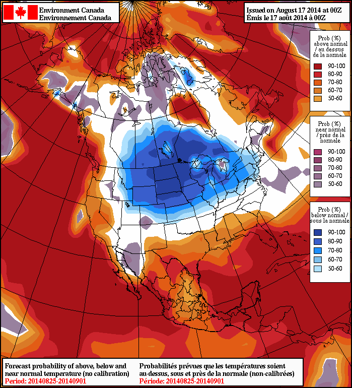
Cristobal will also be enhancing  and warmth over local Tri-State area this week. Temperatures may approach 90 in some spots, by Wednesday or Thursday with sunshine, a westerly flow, 588dm+ 500mb heights and 850mb temps near 18C. Humidity will be on the increase as well. However, this heat and humidity will likely be short-lived again, with another deep trough and cold front approaching from the west at the end of the week. Temperatures will likely return near to below normal next weekend. Long-range guidance shows the ridge building east again during the first week of September. But will have too see how much Cristobal influences the NAO pattern after this week, which could have an impact. Multiple times this summer we’ve seen long-range guidance show prolonged heat or warmth, only to have it muted as we get closer.


Watching Invest 96L Over The Northeast Carribean

Tropical wave 96L is currently moving west-northwest over Puerto Rico this morning. Another reconnaissance flight is scheduled to fly into the system this afternoon. But it is difficult to discern a closed surface circulation with surface observations and satellite imagery this morning.  Strong shear from upper-level trough over the Western Atlantic is enhancing a large area of convection that stretches from the Northeast Carribean Sea to the Southwest Atlantic. This shear along with some land interaction with Puerto Rico and Hispaniola, will likely inhibit further development into a tropical storm through the day tomorrow.

wg8shr15zOn Sunday this system will steered northward into a weakness in ridge over Western Atlantic. At this point, the environment may become more favorable for further development. It will be over warmer waters and the current trough may lift out enough for shear to relax. After this period, the track becomes more uncertain. Another trough will be digging over the Western Atlantic. Some models show this trough fully capturing 96L and quickly recurve it out to sea. Other models show this trough leaving behind 96L and turn it back towards the west or northwest again. However, this would likely be temporary as most models also show a strong ridge building over the Eastern US next week,  that would block further movement west or northwest from 96L.

aal96_2014082212_track_early

Overall in my opinion, the pattern doesn’t look favorable 96L to make landfall along the East coast as significant tropical system.  Tropical storms and hurricanes often take the path of least resistance. Which appears to be over the Western Atlantic next week, between stronger blocking ridge over portions of the Eastern United States and over the Central Atlantic. However, if next week’s trough to be not as deep or more progressive, this could more allow high pressure to build over the Northwest Atlantic, forcing a track closer to East Coast.  Assuming the environment becomes favorable enough for tropical storm to form. At this time, this scenario has a very small chance of happening. But everyone along East Coast, particularly from the Carolinas to New England still need to monitor this storm. Whether not this system threatens the US, large swell from this storm could impact East Coast next week. Another update, will come if they are any major changes or upgrade to tropical storm.

Near or Below Normal Temperatures Likely To Continue

Warmer than normal sea-surface temperatures over Northern Pacific Ocean also known as +PDO (Pacific Decadal Oscilliation), have enhanced ridge over heights over West Coast of North America from time to time. This was has resulted in troughiness over Eastern North America, with virtually no prolonged or extreme heat this summer for Northeast United States. In fact, temperatures have been near or below normal for the last several weeks:

sst.anom.month
Continuing this theme, the GFS and ECMWF ensemble means for later this week shows at 500mb, shows a Northeast Pacific ridge with heights extending up to Alaska and trough digging into Pacific Northwest. This is a classic -EPO/-PNA pattern. This results in ridge building over Central United States. But the amplification of this ridge into Hudson Bay/Southeast Canada, leads to lower heights over the parts of the East Coast/Western Atlantic. Somewhat reminiscent of an omega block. This supports disturbances to drop down from the north or an onshore flow with high pressure to the north and east:

0zGEFSf1440zECENSThe trough over the Western US will eventually shift eastward, after this period. A brief surge warmth and humidity, may proceed it. But another cooler airmass will likely come behind it.  Overnight guidance is starting to pick up on this as well. The 8-14 day outlook from the NAEFS, basically last week of August, now showing 50%> probabilities of temperatures averaging below normal from over the Northern Plains into the Northeast:

0zNAEFS