So far this winter, hasn’t feature alot of cold and snow. December ended on average warmer than normal for most of the United States. A short, simple explanation for it is that our source regions for cold the AO and EPO where positive for better of the month. However that patten has reversed for beginning of January. The EPO has gone negative and this is causing more an arctic blast to invade in to United States this week.
A strong cold front has passed through the area overnight. Temperatures have already fallen into middle 30s to lower 40s in most areas and gradually fall into upper 20s to lower 30s this afternoon. Northwest winds will be sustained between 15mph to 30mph with gusts possibly up to 40mph this afternoon. Windchills later this afternoon could in the lower 20s or teens. Temperatures tonight will get down in the upper teens and lower 20s in most areas, winds still gusty.
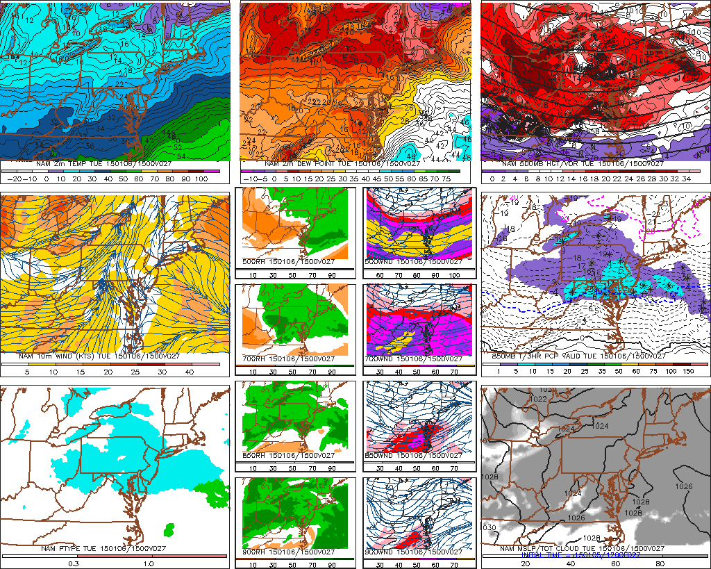
A clipper system will bring some light snow tomorrow. However, as with most clippers, moisture is limited. The upper-level shortwave will be passing to our south. The 850mb thermal advection will be near Mason-Dixon line. This means the best lifting will be over Southeast PA and Southern NJ. Expecting most of the tri-state area too see any from coating to 1″ of snow. Parts of Central and Southern NJ and Southeast to East-Central Pennsylvania could see up to 2 inches of snow.
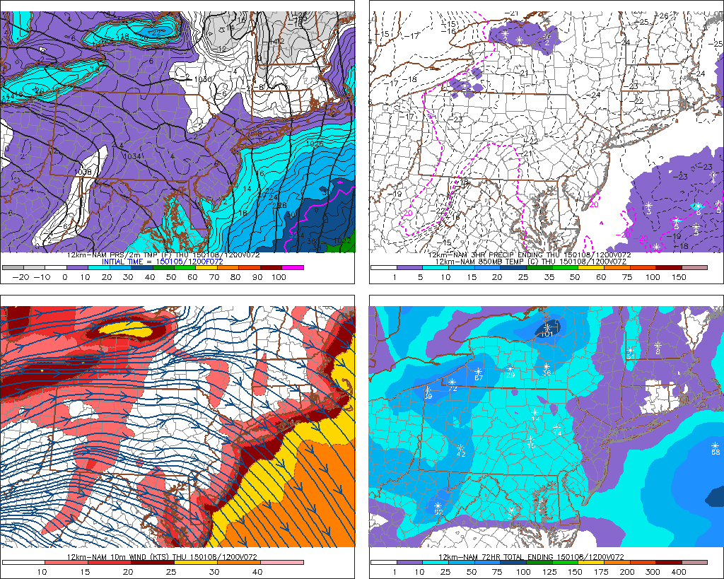
Behind this clipper, Wednesday will sunny with highs in middle to upper 20. Another cold front will bring a bitter colder airmass Wednesday night. 850mb temperatures below -20C support surface temperatures to drop into the middle to upper single digits on Thursday morning. Record lows for Thursday are in the lower single digits. So it’s not likely we will break them. Windchills are likely be below zero. A cold front with a reinforcing shot of cold air, behind it, could give some snow showers on Friday. Early look at this weekend, features a cold and dry on Saturday. With some moderation possible on Sunday. Another post will be coming soon on a review of this winter so far and what is in store for the rest of this winter