Yesterday temperatures were warmer than expected due very dry airmass and lack of foliage. Highs reached the lower 70s for much New Jersey, New York City and the Lower Hudson Valley Today will be even warmer with light northwest downslope winds and mixing up to 800mb. Temperatures will get into middle to upper 70s with very low humidity/dewpoints for the same areas again. Northwest winds are light enough to allow for sea-breeze to develop this afternoon. This may keep temperatures several degrees cooler over parts of Long Island, near the New Jersey shore and along the Connecticut coast. But should still be a very nice afternoon overall. A backdoor cold front will cause temperatures to drop back into 50s early this evening from west to east.
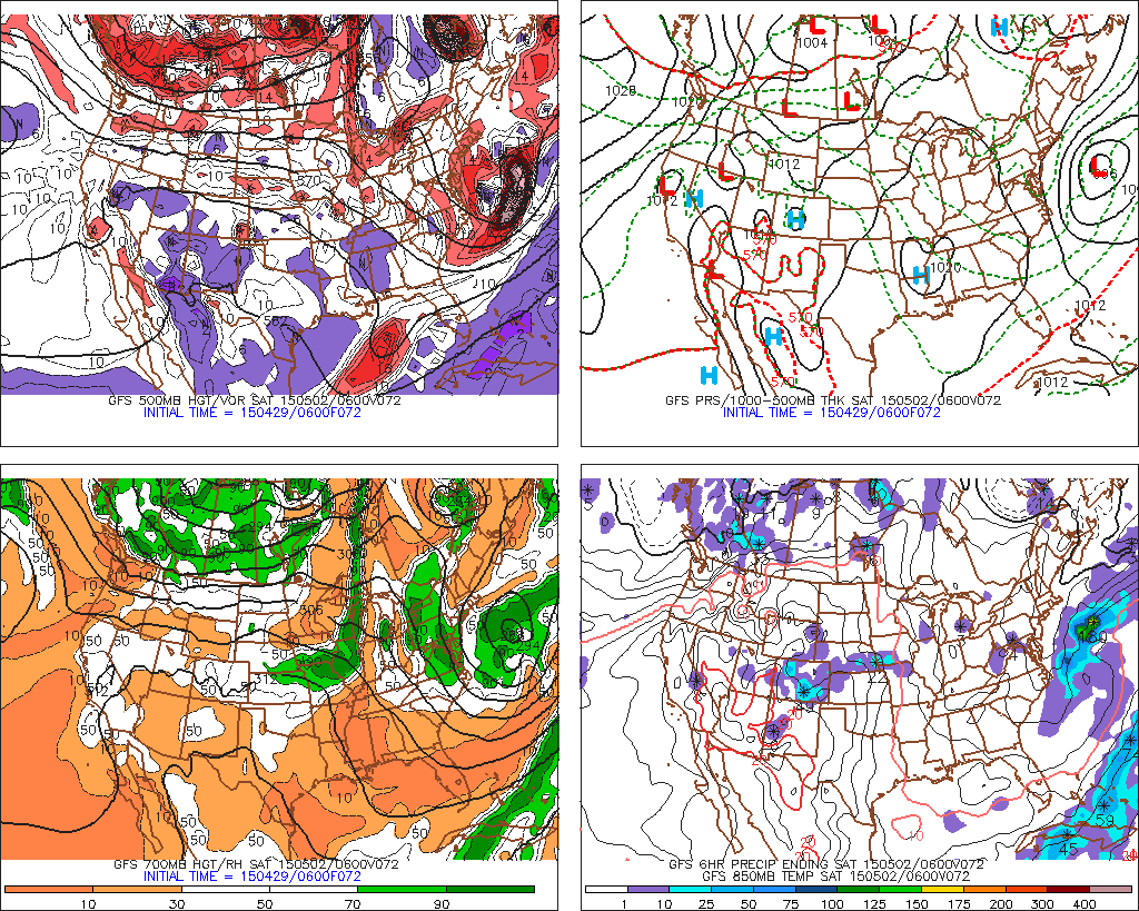
Tomorrow will attention will turn to the coastal storm I’ve been discussing. The GFS has come more in line without models keep this low further south and east region of the region. The result will be more cloud cover and onshore winds on keeping temperatures from getting out 60s or 50s tomorrow and Friday. But no other impacts from this storm are expected in tri-state area. This low should move east of the area on Saturday morning and clouds should break for some sunshine in the afternoon.
Model guidance continues a ridge building into Eastern US, after this low moves out. On Sunday will resume our warming trend with temperatures getting back into middle to upper 70s with mostly sunny skies. Temperatures could rise into lower to middle 80s, away from the coast, during the first half next week, before cold arrives with some showers and thunderstorms later on Tuesday or Wednesday. This could front doesn’t look strong though. Model guidance ridge building back in the east with more very warm temperatures later half of the week.