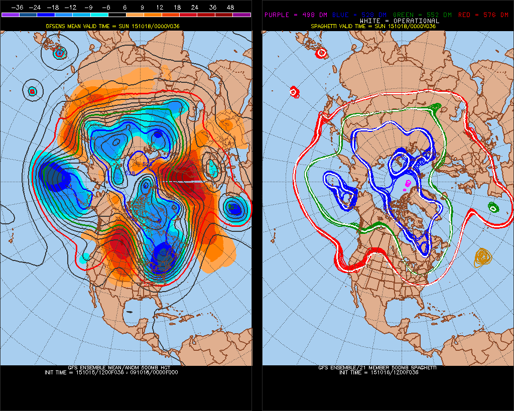
A highly amplified ridge over Western North America is causing a trough to deep over Eastern North America. This pattern will transport a cold airmass over the Hudson Bay region to into the Northeast Untied States this weekend. This will not be mid-winter cold. But we will be seeing some cold temperatures that we don’t see often here in October. Some precautions will also be needed to protect growing vegetation this weekend, as a first freeze for parts of the tri-state area is also likely.
During the day Saturday 850mb temperatures will between -3 and -5 degrees Celsius. This will support high temperatures in the lower to middle 50s with mostly sunny skies. A colder airmass will arrive Saturday night with 850mb temperatures between -6 and -9 degrees Celsius with breezy northwest winds. Some interior locations may see their first freeze, as temperatures there drop into lower to middle 30s on Saturday night. Near the coast, temperatures will likely only fall into upper 30s or lower 40s.
 After some sunshine Sunday morning, a upper-level disturbance over Great Lakes will cause clouds to increase during the afternoon hours. A few passing rain or wet snow showers can’t be ruled out. But moisture will be lacking. High temperatures will only reach the upper 40s or lower 50s on Sunday. Which is about 10-15 degrees below normal for this time of year. Sunday night has the potential to be colder, with lighter winds from north and clear skies. A first freeze is more likely for areas just outside New York City, with temperatures dropping into upper 20s or lower 30s. In New York City and closer to shores, temperatures will likely drop into the middle 30s and remain above freezing.
Temperatures the day Monday may struggle to reach 50 again. However, this cold air mass will not much longer. The pattern overall remains progressive with a lack of high-latitude blocking. A fast Pacific jet, will cause the ridge over Western North America to de-amplfy and shift into Eastern US next week. This will result in warmer southwest flow with high temperatures back in 60s over the Tri-state area by Wednesday.
