Happy July 4th weekend! Much of this holiday weekend will be fine for beach and fireworks festivities. But heat and humidity will be more oppressive today and a cold front could bring some scattered strong to severe thunderstorms on later this afternoon and evening. Then weather conditions improve for Sunday and some great weather is in store for Independence Day. More details on forecast for each day below.
Saturday
A prefrontal disturbance has been producing more clouds and showers in the region early this morning. But the clouds will likely break for more sunshine during late morning and early afternoon hours. This will allow for temperatures to rise into the upper 80s and lower 90s, again away from the coast. High dewpoints in the upper 60s and lower 70s will support heat index values in the middle or upper 90s. Sea-breezes will keep coastal sections a little cooler, but dewpoints will be the same or higher. Then more scattered showers and thunderstorms are likely to develop in parts the region during the mid-late afternoon and early evening hours, with the cold front approaching the region from the northwest.
A lack of large scale forcing and steep mid-level lapse rates with the front will reduce the risk for more widespread or significant severe weather later today. But the cold front could interact with any sea-breeze boundaries or remnant outflow boundaries from prior storms, which could enhance forcing in parts of the the region. Surface-based instability and bulk effective shear will also increase this afternoon, which can support some scattered strong to severe thunderstorms. These storms will be mainly capable of producing strong or damaging wind gusts and some hail. Any thunderstorms could also produce heavy downpours and frequent lightning. High precipitate water values (high moisture content in the atmosphere) may support torrential rainfall and flash flooding in a few locations.

Overall, much of today will just very warm and humid. Not everyone will necessarily see showers and thunderstorms. However, you should have a plan to head indoors in case any thunderstorms occur in your area. This front will be slowly moving through the area later tonight, so additional scattered showers and thunderstorms are possible. But the severe weather threat will diminish with instability waning after dark.
Sunday & Independence Day
The frontal boundary will be weakening further and pushing south into the Lower Mid-Atlantic region on Sunday. Some cloud cover and showers could linger into early morning hours, mainly over Central-Southern NJ and Southeast PA. But the vast majority of the day will be feature sunshine, a northwest breeze and lower humidity. High temperatures will likely reach the mid-upper 80s throughout the NYC metro region.
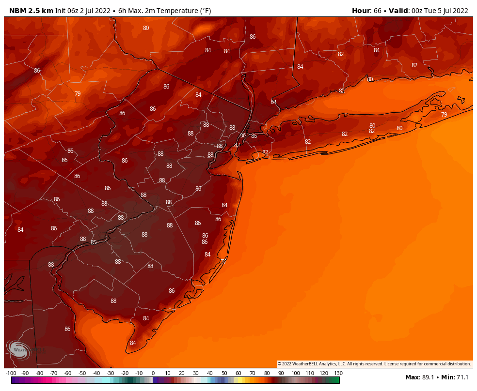
Independence day on Monday still looks like the best day of the holiday weekend. Expect plenty of sunshine and comfortable humidity all day. High temperatures will be in the mid-upper 80s again throughout New Jersey, Southeast NY, Southern Connecticut and Eastern PA. The weather shouldn’t have any impacts on outdoor plans or fireworks activities through the evening hours.
Meanwhile, Tropical Storm Colin has unexpectedly formed near the South Carolina coast this morning. It is a minimal tropical storm with maximum sustained winds at 40mph and isn’t expected to intensify due to high shear, as it tracks northeast over the Carolina coast and then out in the Atlantic Ocean. This storm will have not any rain or wind impacts for the NYC Metro region. But it could cause some rougher surf for the oceanside beaches late Sunday into Independence Day.
More active weather with some shower and thunderstorm activity expected during the middle of next week as few disturbances move through. But I will talk about that on Tuesday. Enjoy the holiday weekend for now, if you can!
