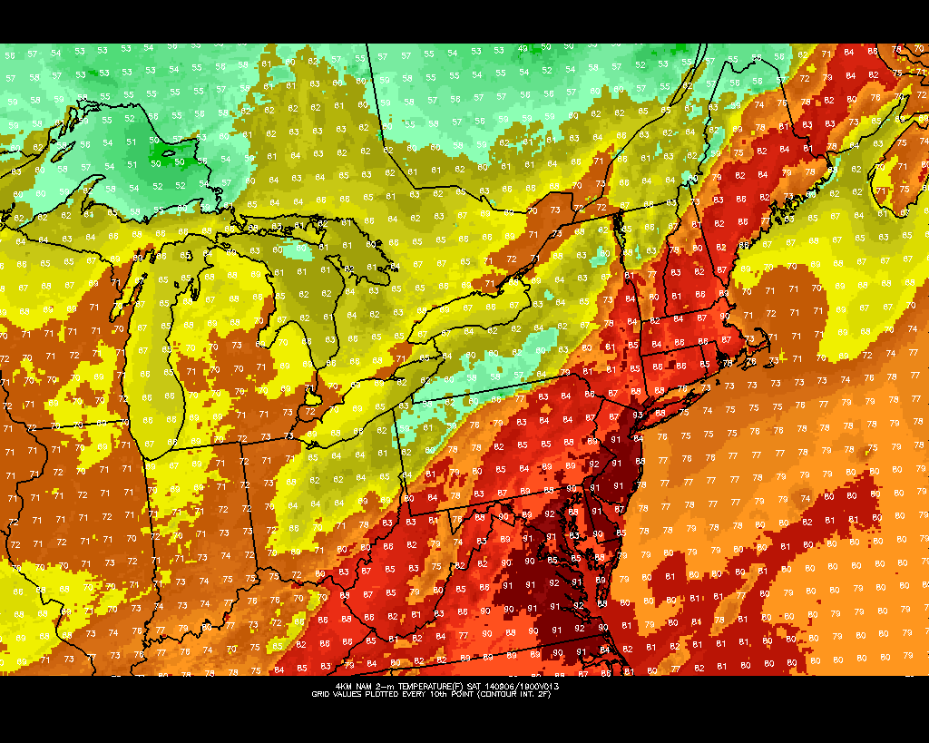
A warm front move through the area tomorrow morning with some clouds. Winds turn more southwesterly south of this front, transporting a much warmer and humid airmass. Temperatures over New York City and much of New Jersey will rise into the middle to upper 80s. However, this will be short-lived as a cold front will moving through the area tomorrow evening with some scattered showers and thunderstorms.
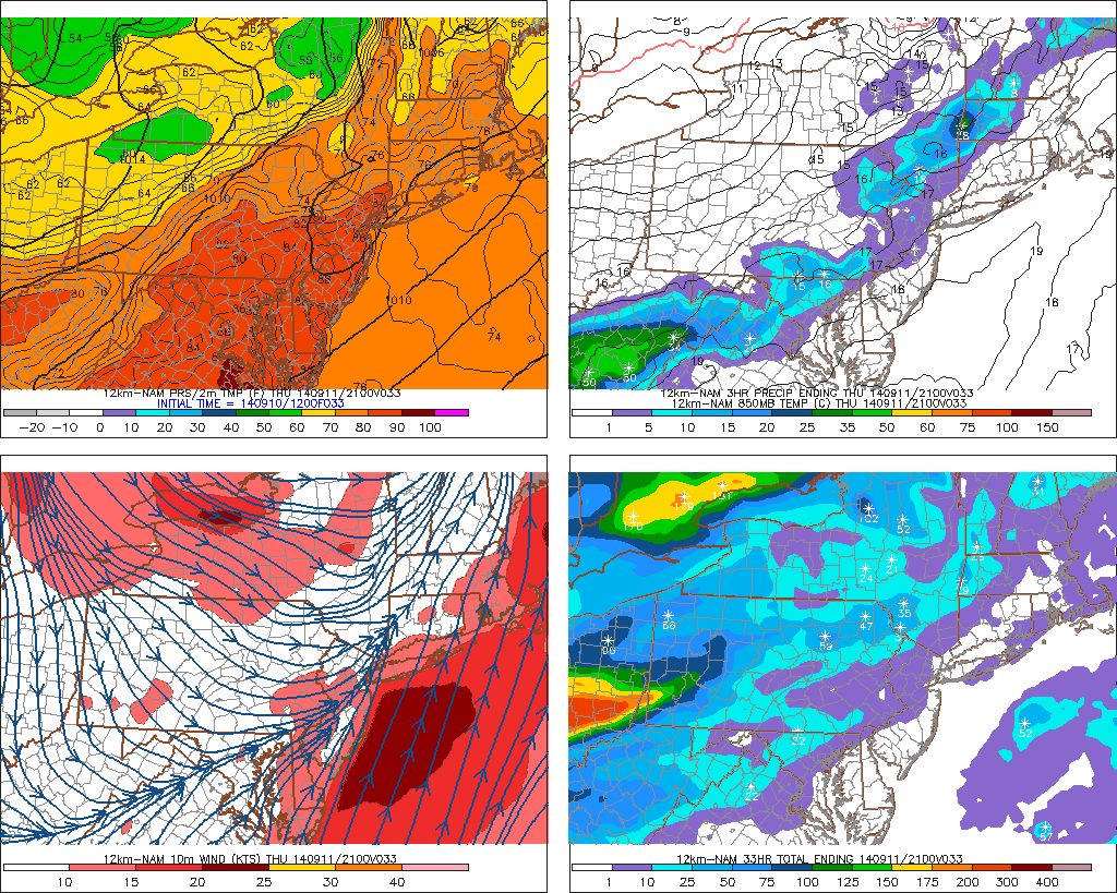
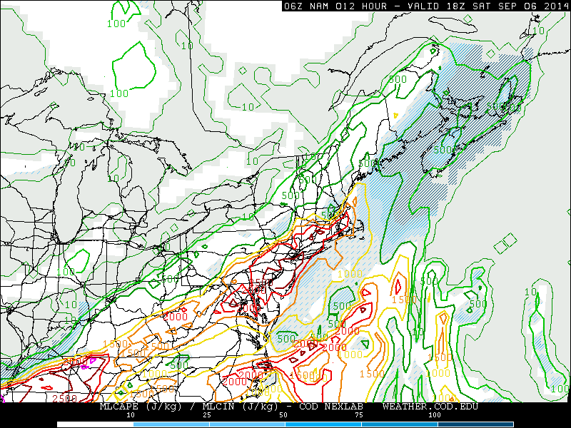
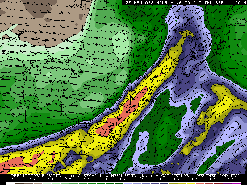
The Storm Prediction Center had issued a slight risk early this morning for these t-storms tomorrow. This was mainly in the warm sector, when instability is more likely to support severe thunderstorms. However, this afternoon look as removed the slight risk entirely. Regardless of what SPC issues, there are some factors going against widespread severe weather. Mid-level lapse rates are poor with a mostly west to southwest flow aloft. While 0-3km helicity values are in 150 m2/s2 to 200 ms/s2 late tomorrow, 0-6km bulk shear is between 25kt to 30kts with 500mb winds a little weak in the area. Clouds in the warm sector also an issue with getting more extreme CAPE values. Some models show SBCAPE near 1000 J/kg over Central and Northern New Jersey. But MLCAPE and NCAPE values are lower. This suggests CAPE will be skinny and will not support very tall updrafts. Southeast winds or sea-brezzes ahead of the warm may also keeps parts of Long Island and NJ shore, in more stable airmass. Which supports thunderstorms to weaken in this area. All this considered, I think will any severe weather will be very low and isolated. Some t-storms might strong enough produce wind gusts near 40mph. There is also very small possibility of very weak spinups (tornadoes) along the warm front nearby). But without more instability, this threat is not heightened here. Models do show very high precipitable water values over 2.20″. So any thunderstorm will be capable produce some very heavy rainfall with flash flooding in poor drainage areas.
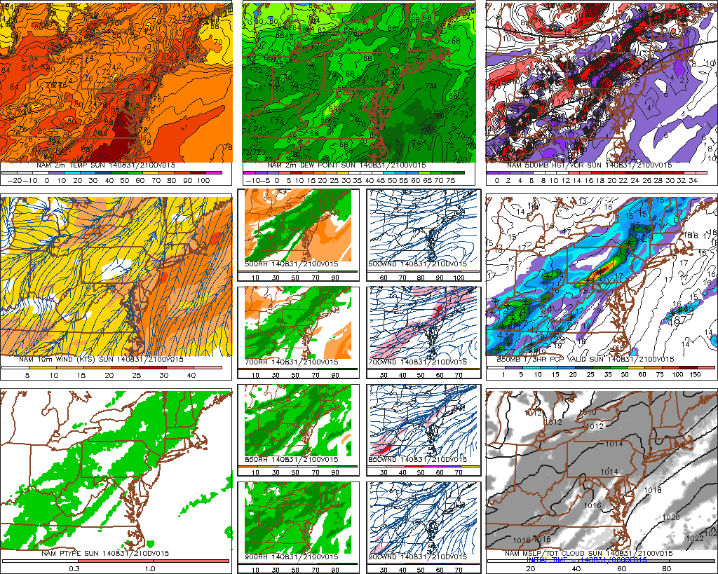
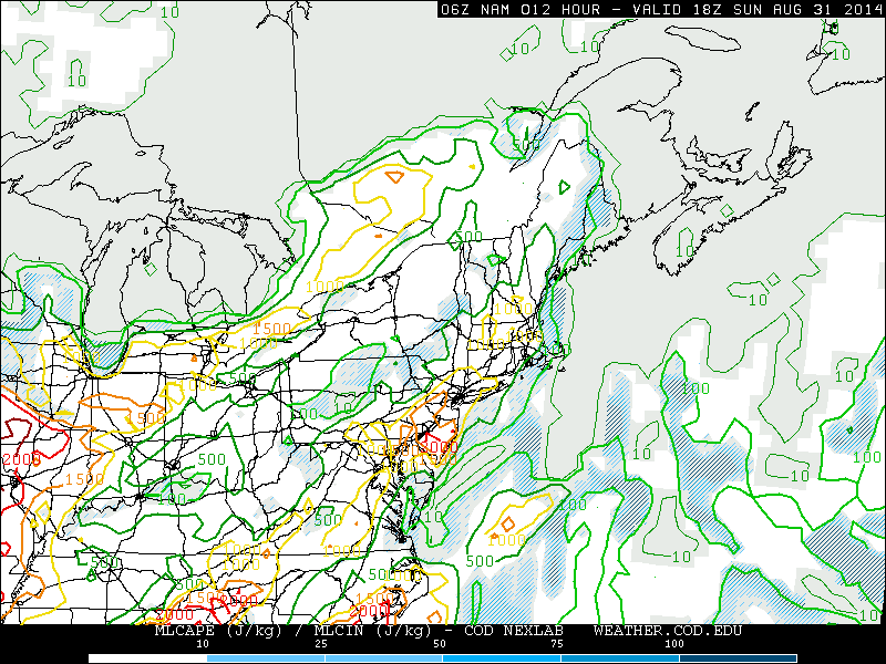
Showers and thunderstorms will taper off later tomorrow night and clearing will take place late. A cooler and less humid airmass is in store starting on Friday. High temperatures will only reach the lower to middle 70s, despite alot of sun. Some uncertainty continues over the weekend as models stall this cold just off the Mid-Atlantic coast on Sunday. Then move a number of waves north up this frontal boundary through early next week. Details will be fine tuned as we get closer.