A wind gust to 71mph was reported Philadelphia International Airport yesterday , with a band of showers and embedded thunderstorms along a cold front. This was the forth highest wind gust ever recorded, at the airport. Other strong winds gusts between 55 mph and 65 mph gusts occurred over other parts of Southeast Pennsylvania, and central and southern sections of New Jersey. Some wind gust 45mph-55mph range were recorded some sites over northern New Jersey, the Lower Hudson Valley and New York City. Many of these showers and thunderstorms had weak updrafts due a lack of substantial moisture and CAPE. However, very steep lapse rates helped mixed down stronger winds aloft. This band begin to weaken, as it moved into a more stable marine airmass over over Long Island and Southern Connecticut. More information is below from courtesy of sites such as Storm Prediction Center, Wunderground and the National Weather Service:
Severe Wx
Heavy Rain & Thunderstorm Threat Monday
After a beautiful weekend, that featured the first 80 degree weather for local area. Some nasty weather is on the way for tomorrow. Fortunately, this storm is just a nuisance for the most part. Still some details for you to be prepared for:
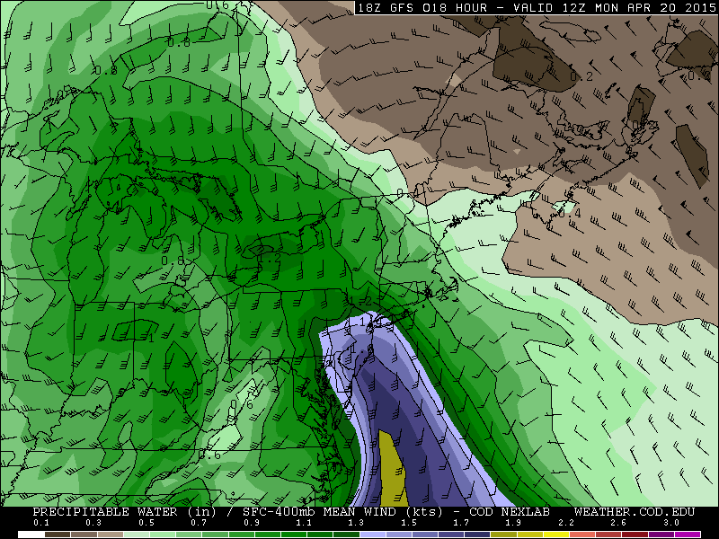
Rainfall: As a warm front with with a wave low approaches, rain will slowly overspread from the southwest the late tonight. A 50kt+ southeasterly low-level jet and a plume of sub-tropical of moisture will provide ample lift and moisture rain to be heavy at times, during the morning and early afternoon hours on Monday. Forecast sounding show a stable airmass during this time frame. So thunderstorms are not expected. Rain will taper off later in the afternoon. As the best forcing with low-level jet starts to shift northeast of the Tri-State area. A cold front may cause a few more showers and thunderstorms tomorrow night. A widespread 1.00″- 1.50″ of rainfall is expected late tonight and tomorrow with locally heavier amounts possible. Some ponding of water in typical poor-drainage or low-lying areas is possible. However, with lack of any significant rainfall recently, more serious flash or river flooding is not anticipated.
Winds: 850mb winds will be running between 50-60kts tomorrow morning and early afternoon. A stable airmass does not support these winds to mix down. However, there could be wind gusts between 30mph and 40mph with the rainfall. Especially near the coast. Also any thunderstorm will be capable of producing stronger wind gusts tomorrow night with the cold front. This is discussed more in the severe weather section below.
Tidal flooding. With the new moon this weekend and the east to southeast flow tomorrow, there could be some minor coastal flooding at high tides tomorrow. Particularly around New York Harbor, the south shores of Long Island and the New Jersey shore. Tides could be 1 to 1 1/2 feet above normal.
Severe Weather: The storm prediction center has issued marginal and slight risks for severe thunderstorms. A cold front associated with this system will move across the area tomorrow night. A deeper southwesterly flow just above the surface, will generate more elevated instability, ahead of this front. More rainfall from more scattered showers and isolated thunderstorms will possible tomorrow night. Any thunderstorm will capable producing heavy rain and gusty winds. But are unlikely to reach severe levels with the warm front remaining south of NYC. Over parts of Central and Southern New Jersey some clearing may take place later tomorrow afternoon. This could atmosphere to destabilize further for stronger thunderstorms with isolated damaging wind gusts.
Cold and Damp Through Thursday…More Warmth and Thunderstorms Friday
Strong high pressure over SE Canada has cause a strong cold front to push south into Mid-Atlantic region this evening. We call this a “backdoor cold front”, because it comes from the northeast or east direction instead of the more common northwest or west direction. Behind the fronts, is an ocean-cooled airmass. Temperatures have drop into 40s through the region, as east to northeast winds increase to 15mph to 20mph. Periods of rain and drizzle have also developed around the region Tomorrow and Thursday will feature periods of rain and drizzle with temperatures in upper 30s to middle 40s through the region. Which 10 to 15 degrees below normal for this time of year.

High pressure will begin moving east into the Atlantic on Thursday night and Friday morning. This will cause stronger southerly flow and the front to lift back northward as warm front. Depending on timing and progression of this warm, temperatures could rise back into 60s or 70s in parts of the area. Especially over New Jersey and New York City. A low pressure system tracking into the Great Lakes will push a cold front through area on Friday night. Ahead of this front could some showers and thunderstorms for the Tri-state area late Friday afternoon. The Storm Prediction Center has placed Central and Southern New Jersey in a 15% slight risk for severe thunderstorms on Friday. Where is more likely to be unstable enough for some thunderstorms to reach severe levels. However, there is some risk for some strong thunderstorms some shear and marginal instability. The main threats are strong winds and heavy rainfall.

Behind the cold front, northwest winds will dry us out for a beautiful weekend. Saturday and Sunday will be mostly sunny and with high temperatures in the lower to middle 60s. Except upper 50s near the shores, where sea-breezes will develop late.
