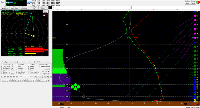
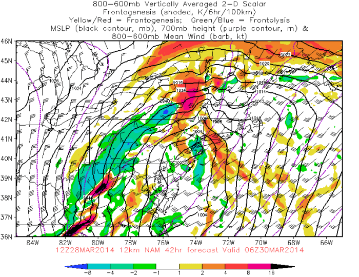
Torrential downpours trained over the region late in the afternoon and overnight. Widespread rainfall totals between 4″ to 6″ fell along the I-95 corridor between the immediate New York City and Philadelphia metro areas. This caused moderate to major flooding in low-lying areas and along streams and rivers. A mudslide also buried two cars in Port Washington on Long Island.
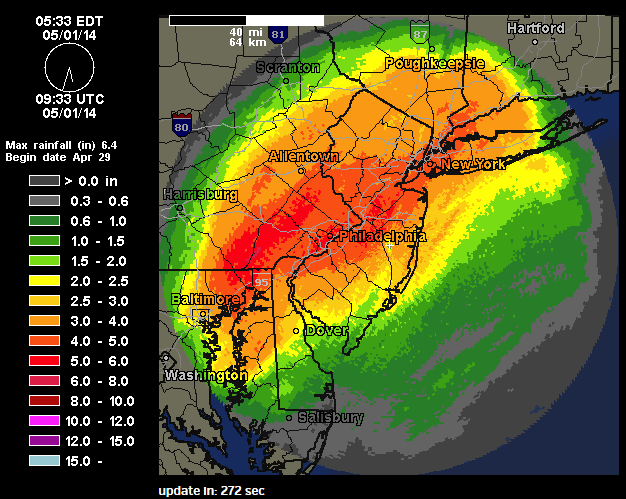 Central Park in New York also set a daily record rainfall record of 4.97″ for April 30th (storm total for two days is 5.12″). This was also the 10th wettest day recorded. Daily rainfall records were also set in LaGuardia Airport 5.26″ and JFK Airport 4.68, Newark Airport 5.24″. LaGuardia and JFK had their 4th wettest days record. Newark had their 6th wettest day recorded.
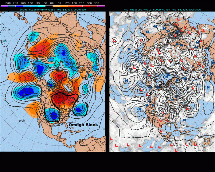
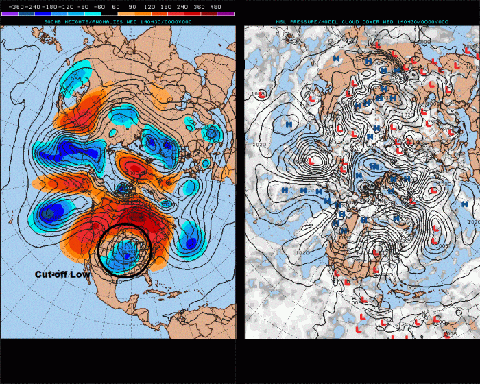
An omega block this week caused a large cut-off low to from over the Central US. “A cut-off low” is a storm that breaks away from jetstream and spins around very slowly, due weak steering currents. These lows sometimes bring prolific rainfall totals to our area. Especially during the spring or summer. So much moisture is transported from the Gulf of Mexico and the Atlantic and then is forced to rise and condense into very heavy rains.
